Tan Son Nhat International Airport (SGN)
Orientation and Maps
(Ho Chi Minh City, Vietnam)
Previously named Saigon, Ho Chi Minh City is the biggest city in the whole of Vietnam and is situated close to the Mekong River. With a large harbour area, Ho Chi Minh City was once a small and busy fishing village. In 1975, the city of Saigon merged with nearby regions and Ho Chi Minh City was formed, with a population exceeding six million.
Located in the north-western suburbs of Ho Chi Minh City, Tan Son Nhat International Airport (SGN) is the country's number one airport. Each year, Tan Son Nhat Airport serves around 17 million travellers and is regularly being updated, modernised and expanded, to cope with constant demand.
Tan Son Nhat International Airport (SGN) Maps: Important City Districts
Ho Chi Minh City contains a number of districts, each of which is home to numerous different wards. With a skyline full of stylish skyscrapers and many more traditional buildings and historic temples, the very heart of the city is centred around the Saigon River, which leads to the seafront. Central Ho Chi Minh City is where you will find the largest concentration of modern shops, popular restaurants and lively karaoke bars.
Other notable inner-city districts include those of Binh Tan, Binh Thanh, Go Vap, Phu Nhuan, Tan Binh, Tan Phu and Thu Duc, together with 12 further numbered districts and five suburban regions.
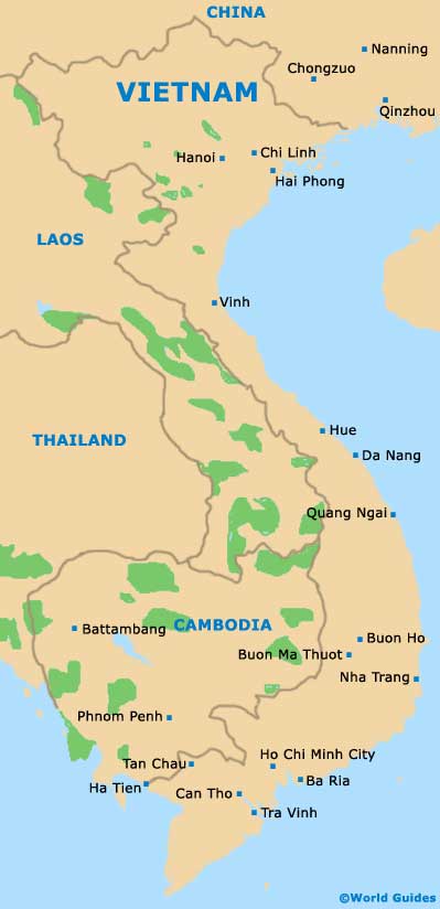
Vietnam Map
Ho Chi Minh City Map

